Tafjordfjella and the Sunnmøre Alps, Norway
62°12'47.5"N 7°47'59.3"E
Åndalsnes to Ålesund mostly by foot, sometimes bus and quite often ferry
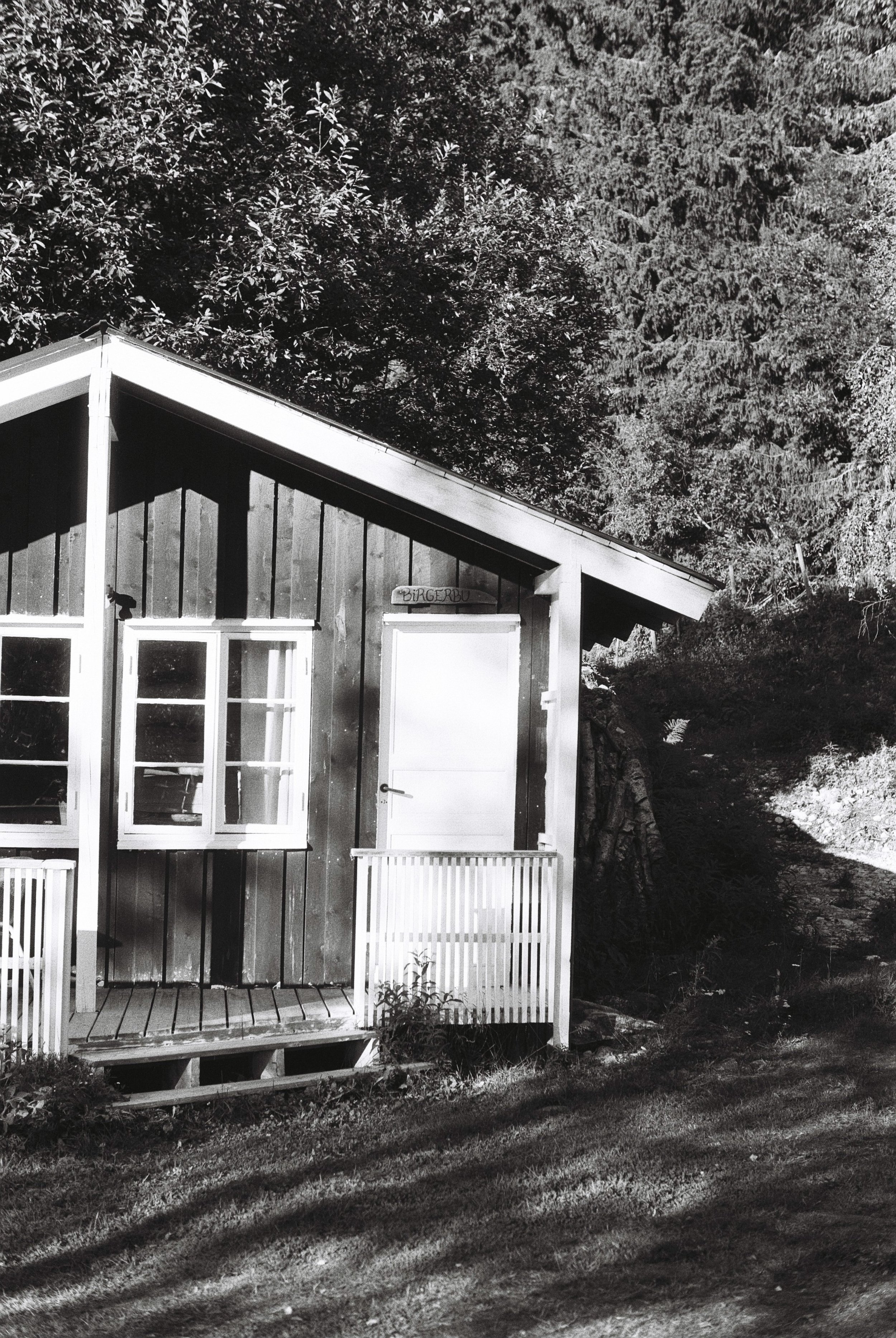
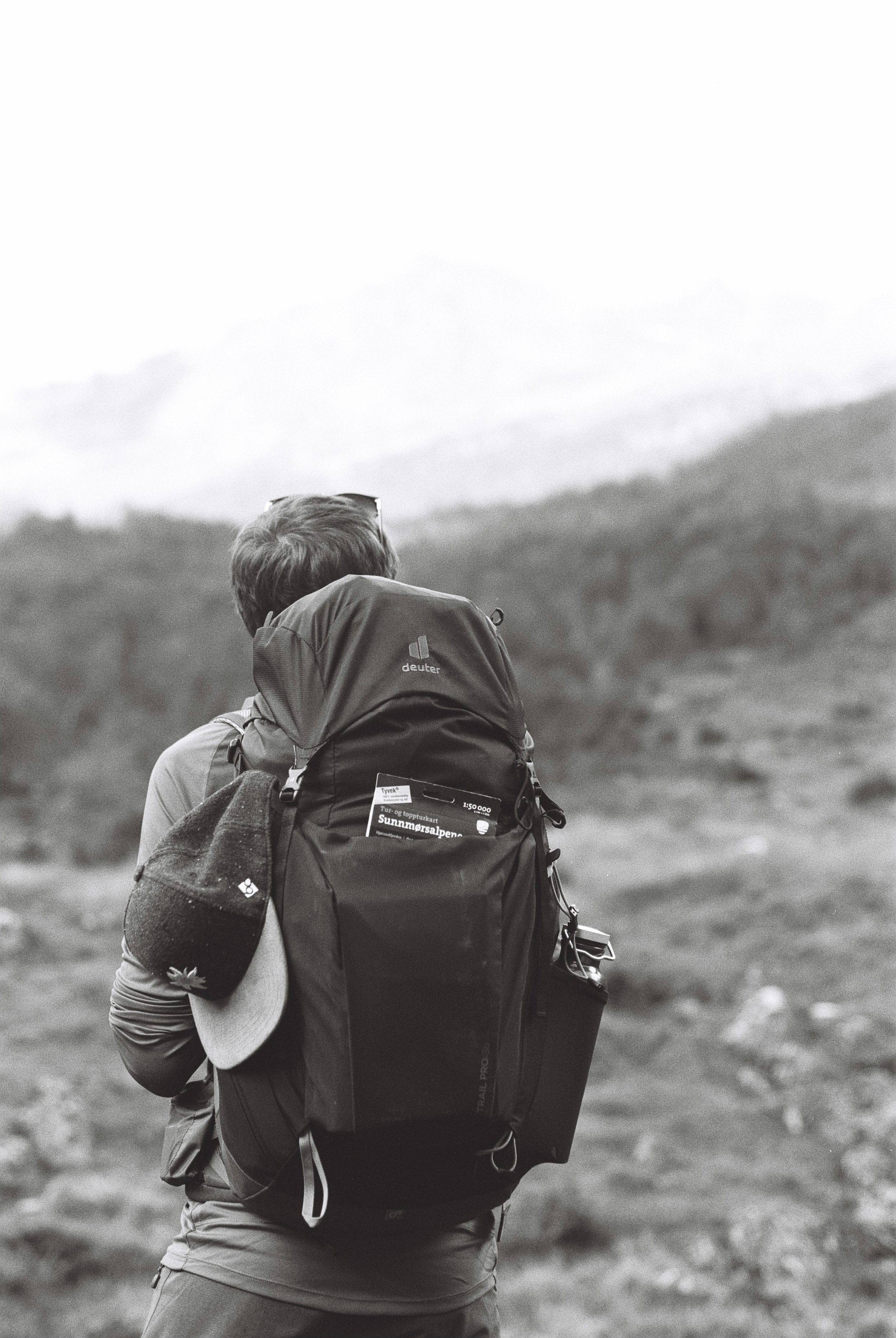
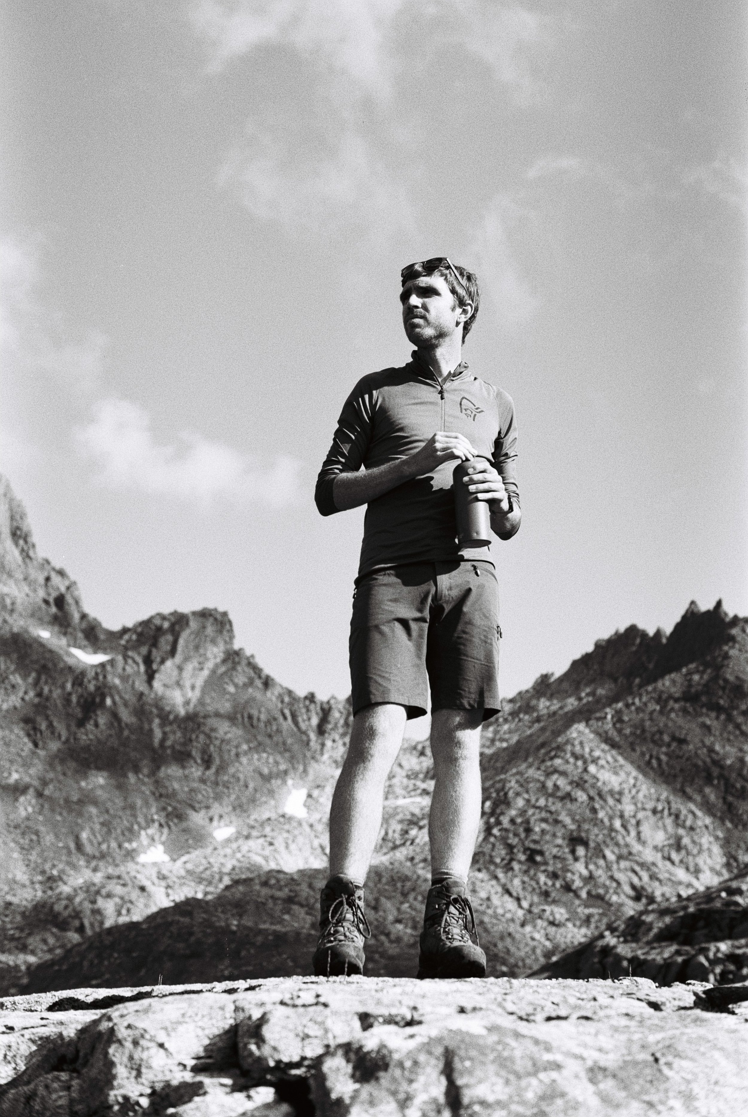
We left Oslo at 9 am this morning and are on our way to Bjørnekleiva hytteutleie, a small farm about 30 minutes away from Åndalsnes and the starting point of our adventure. It’s going to be a day’s journey to our destination: first a rail replacement bus service all the way to Lillehammer followed by a train to Åndalsnes and another bus ride from there. With a week long hike crossing the Tafjordfjella range and the Sunnmøre Alps coming up we made a conscious effort to pack light this time, and have managed to fit a week’s hiking essentials in our brand new (and appropriately sized at around 30l) Deuter backpacks. And what an achievement! Our plan revolves around sleeping in unstaffed DNT huts for the upcoming seven nights, so we’re carrying everything from warm sleeping bags and food to our trusty AeroPress for a fresh brew; after all, we can’t risk not starting our mornings right - which for us that means having good coffee.
But let’s not get ahead of ourselves. For now, with the backpacks on our shoulders we’re boarding the train in Lillehammer. Destination: Åndalsnes.
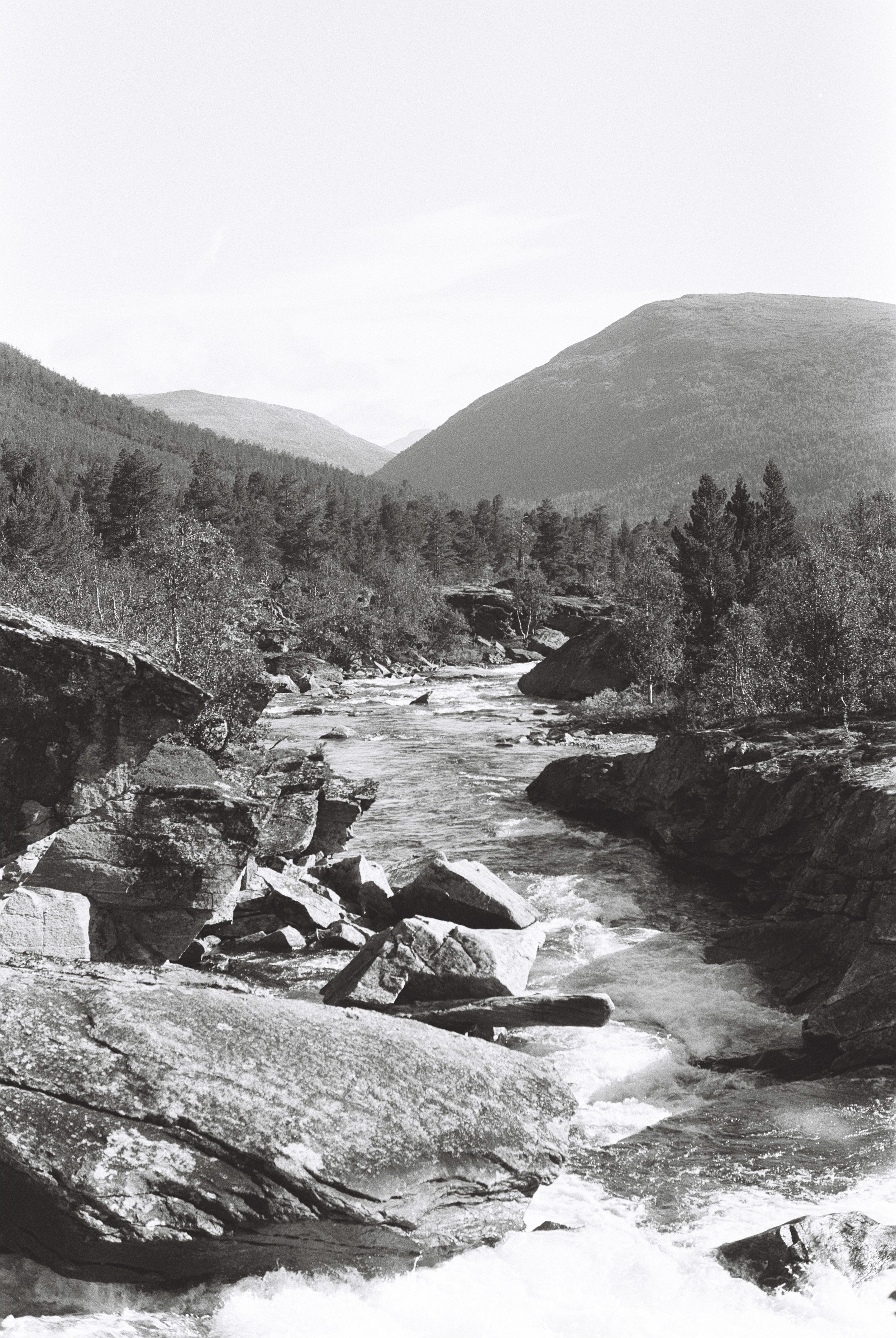
From Bjorli onwards the train starts snaking through the valley and, to our surprise, the emerging rolling hills are partially covered in snow. I’m experimenting with my new film camera this trip and it seems each time I take my eyes away from the viewfinder and look out of the window the scenery is becoming more and more dramatic; the rolling hills are now jagged rock formations, previously calm streams turn into torrents, with the water is crashing around the boulders in its path. We reach Åndalsnes on time - enough time to grab a coffee and even enjoy the view for 10 minutes before continuing our journey. One last bus to go to reach today’s destination!
It is not quite a bus though, rather a mini-van and we are the only passengers which ends up working in our favour because we get dropped off at the front door of Heidi’s Bjørnekleiva hytteutleie. Heidi is lovely and gives us a proper warm welcome. She even fetches us some duck eggs for the morning and teaches us a thing or two about her community and their lifestyle.
The sun has now set. We crash in our bed pretty soon after, full of excitement for the upcoming adventure. Lights out! See you tomorrow.
Day 1: Pyttbua
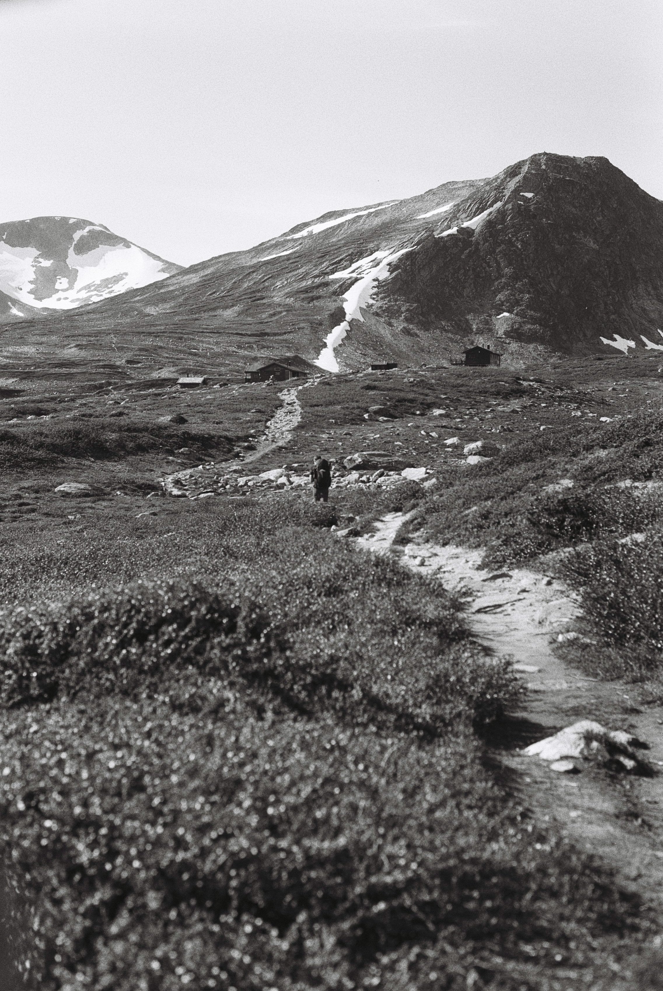
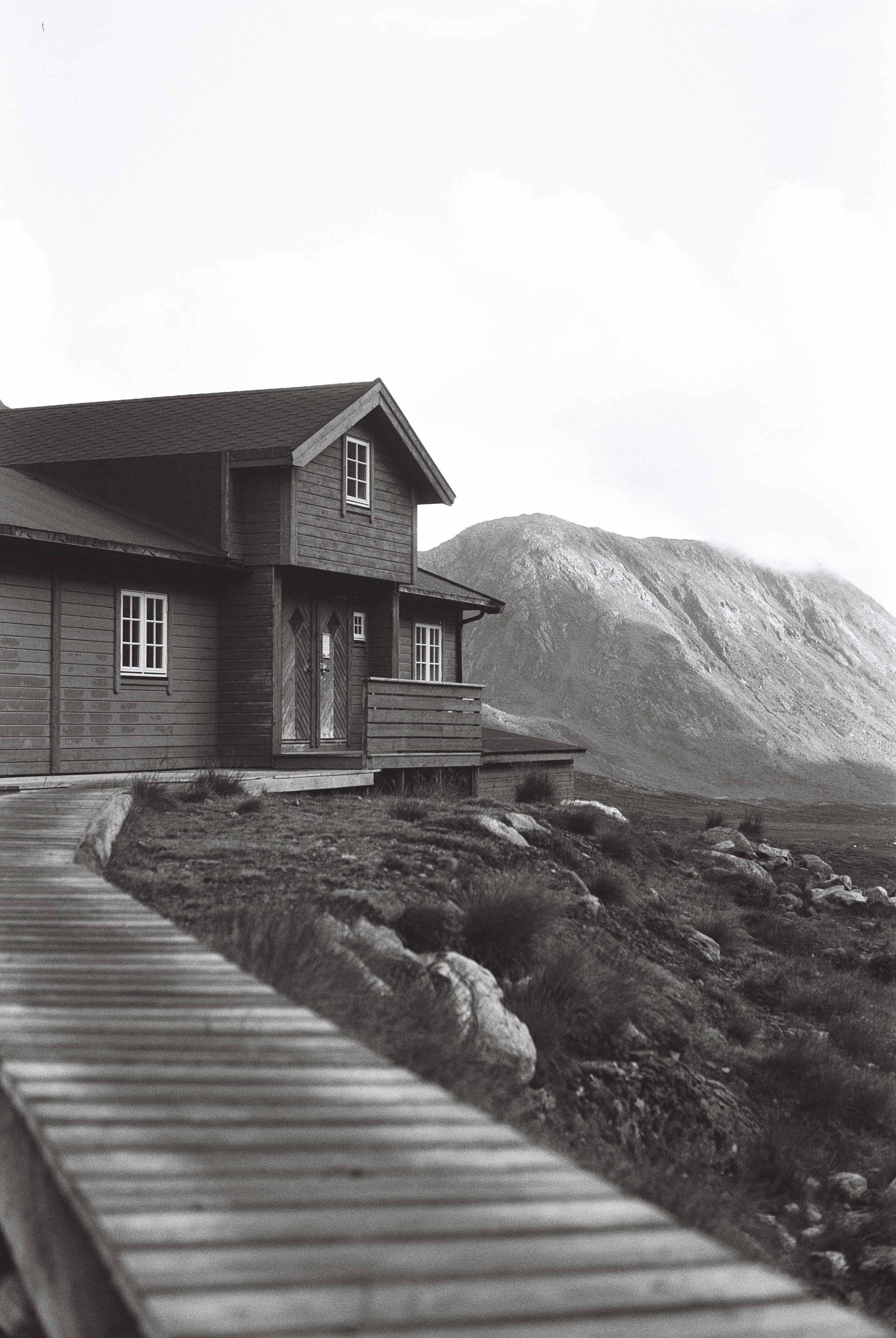
The alarm goes off at 7am. The clouds are low and we are having a slow morning: dry bread, pesto and duck eggs for breakfast of course with a freshly brewed coffee to help us wake up. Today’s destination is Pyttbua, a DNT hut in the Tafjordfjella mountain range at 1161m above sea level.
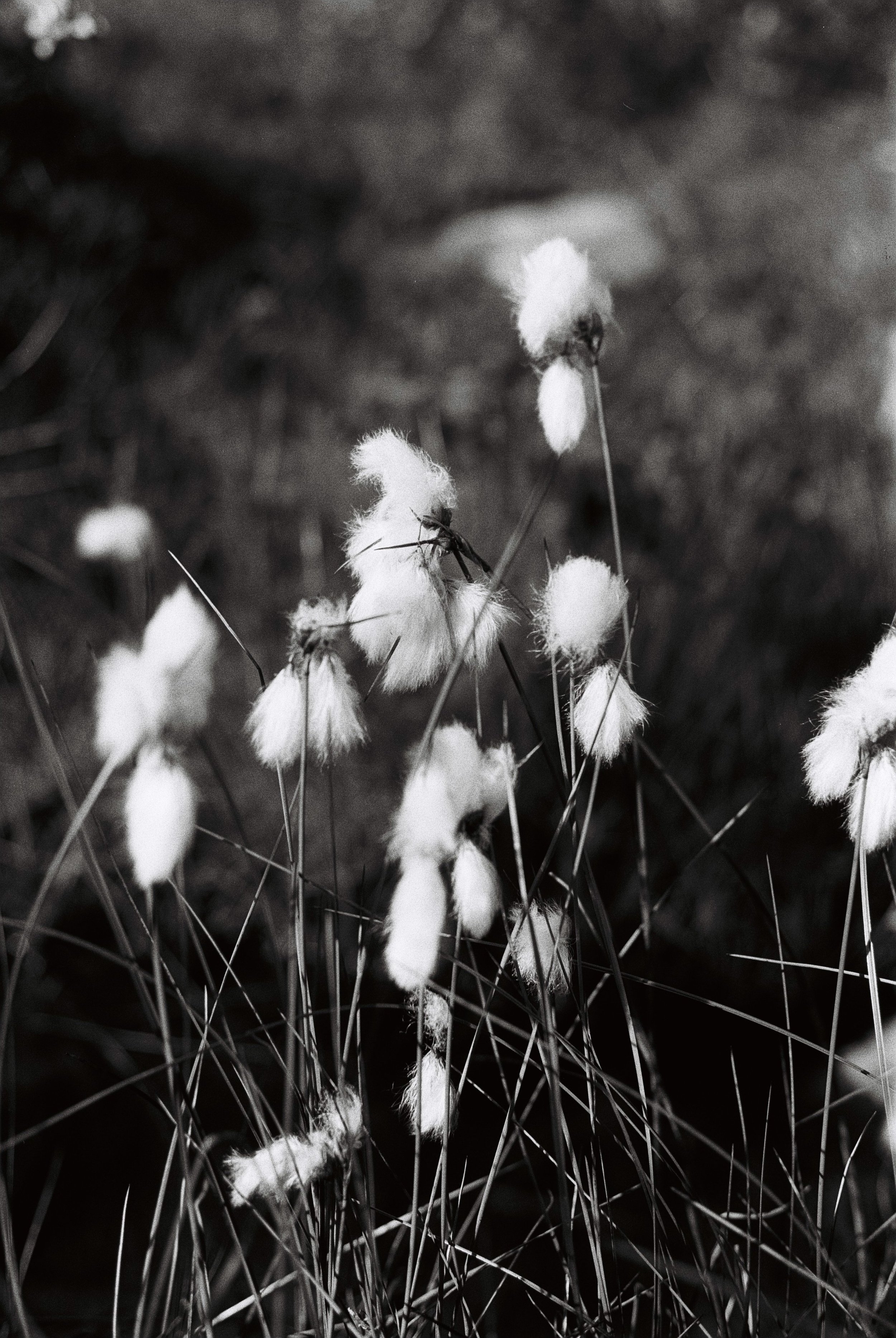
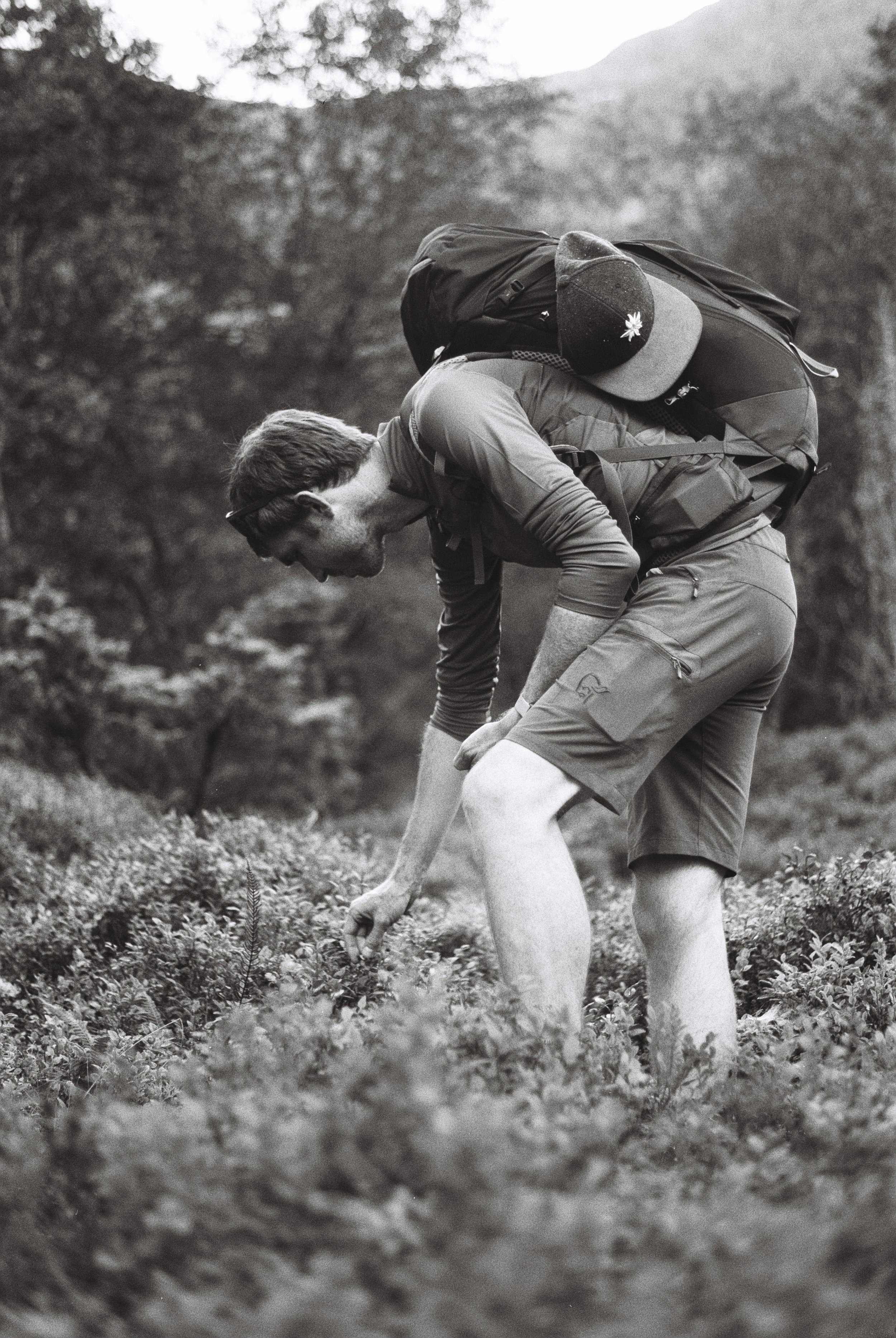
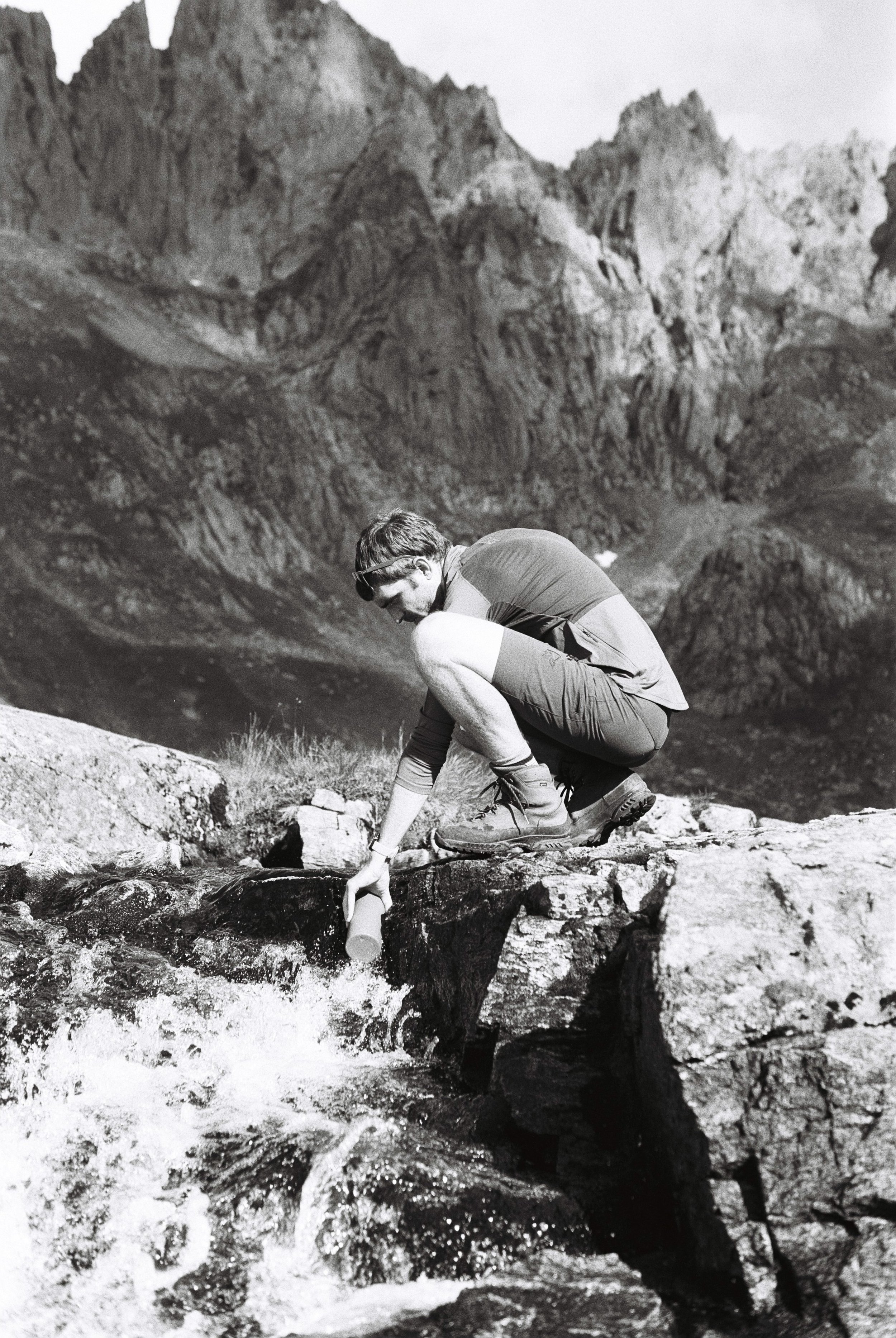
Heidi offers to drop us off about a third of the way into our hike, helping to avoid a rather long road section. It’s only 500m of altitude from where she leaves us, so we are excited about the relaxing start to the week. We follow the Puttåa river upstream towards forests filled with blueberries. I can’t help myself but to stop and pick some every 5 minutes.
We arrive at Pyttbua around 3pm alone and cold, so we make some tea to try and warm up. Tomorrow seems quite challenging from what we can find in the guest book from visitors a few days ago so we’ll have an early night. But first some dinner!
Day 2: Kaldhusseter
Long day ahead so we start as soon as possible towards Kaldkusseter, again a DNT hut and our stay for the second night.
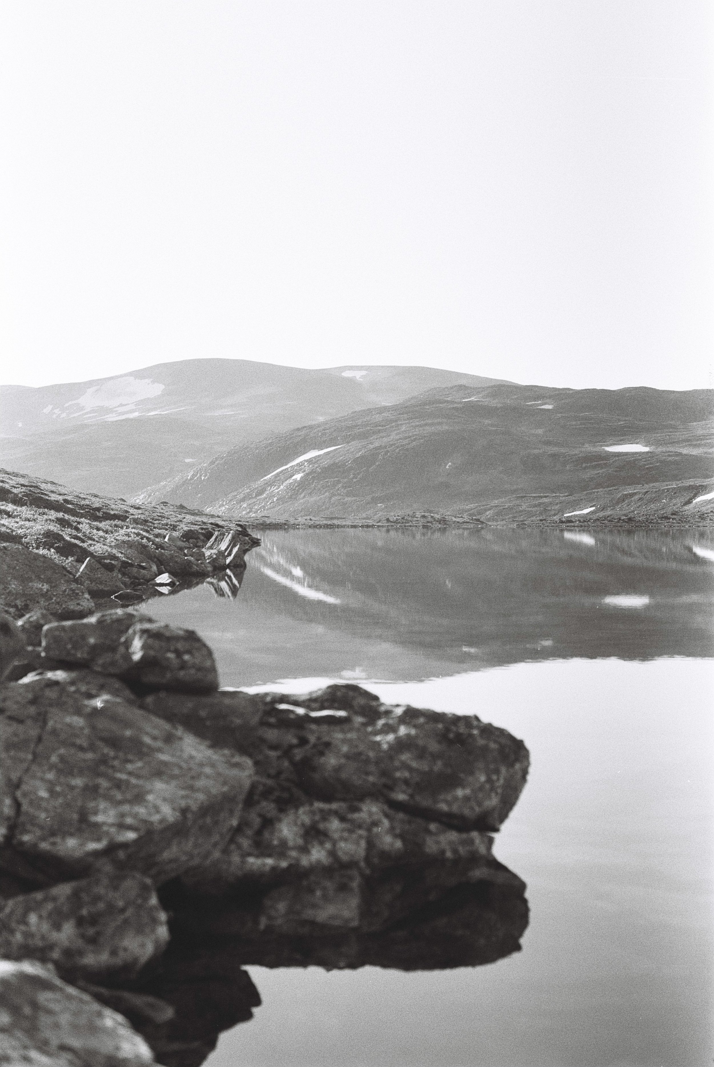
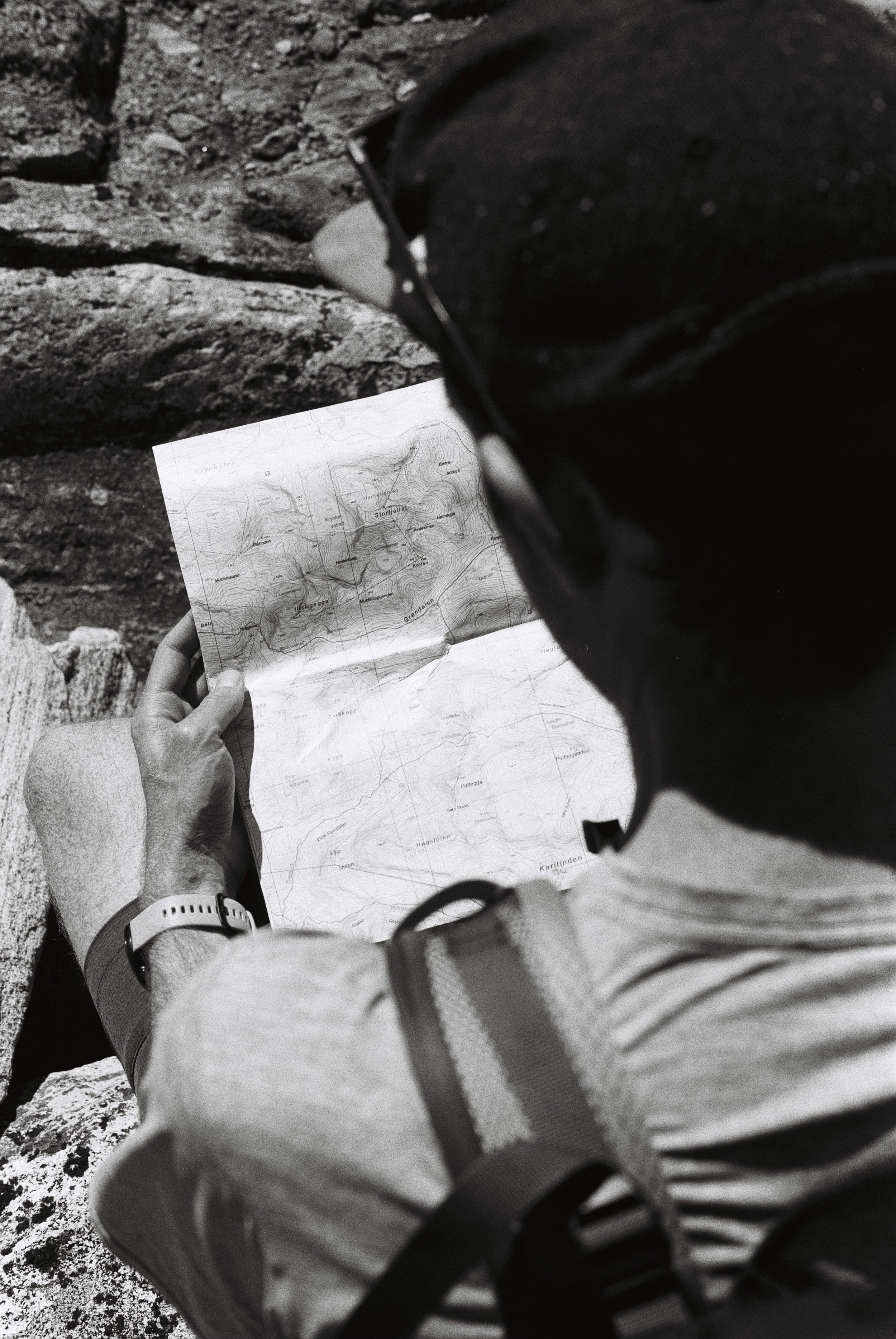
The first couple of hours we follow the edge of Nørdre Botnvatnet lake and we barely have to look up as it perfectly mirrors the silhouette of Putteggenden mountain. The boulders are starting to get bigger, the ascent steeper and we soon find ourselves navigating a snow field often relying on the few ropes not buried under the snow to advance. The surface feels surprisingly firm compared to what we were expecting and are used to from the Alps and we reach the pass in high spirits. Our snow spikes would be perfect here.
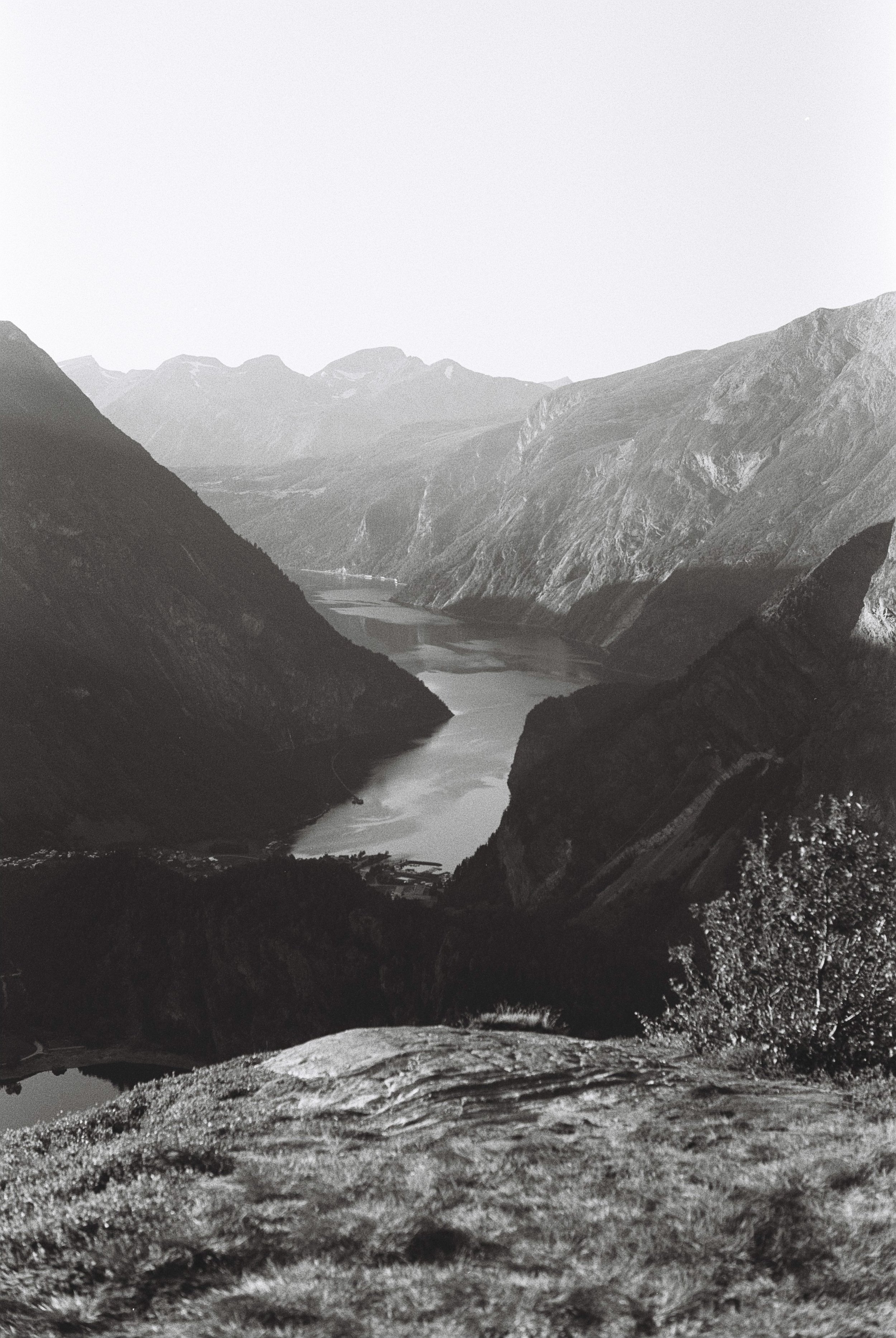
A long a steady descent through the Øvre Reindalen valley and the scenery changes from barren rocks and glacier lakes to waterfalls and fields of blueberries. Hiking here is quite enjoyable. We pass lakes and dams feeding hydroelectric power plants before the final ascent to Flyene. From here we can see Tafjorden for the first time - and what a view! We are lucky enough to catch this as the sun sets behind the mountains but we’re conscious there’s now only 2 hours of light left and we still have 4km of wet, ferny forest paths to conquer. We reach Kaldhusseter at 9pm hungry and tired after 34km distance and 1200m ascent. We have a quick dinner and use the rest of the evening to evaluate our options for day 3.
Day 3: Geiranger
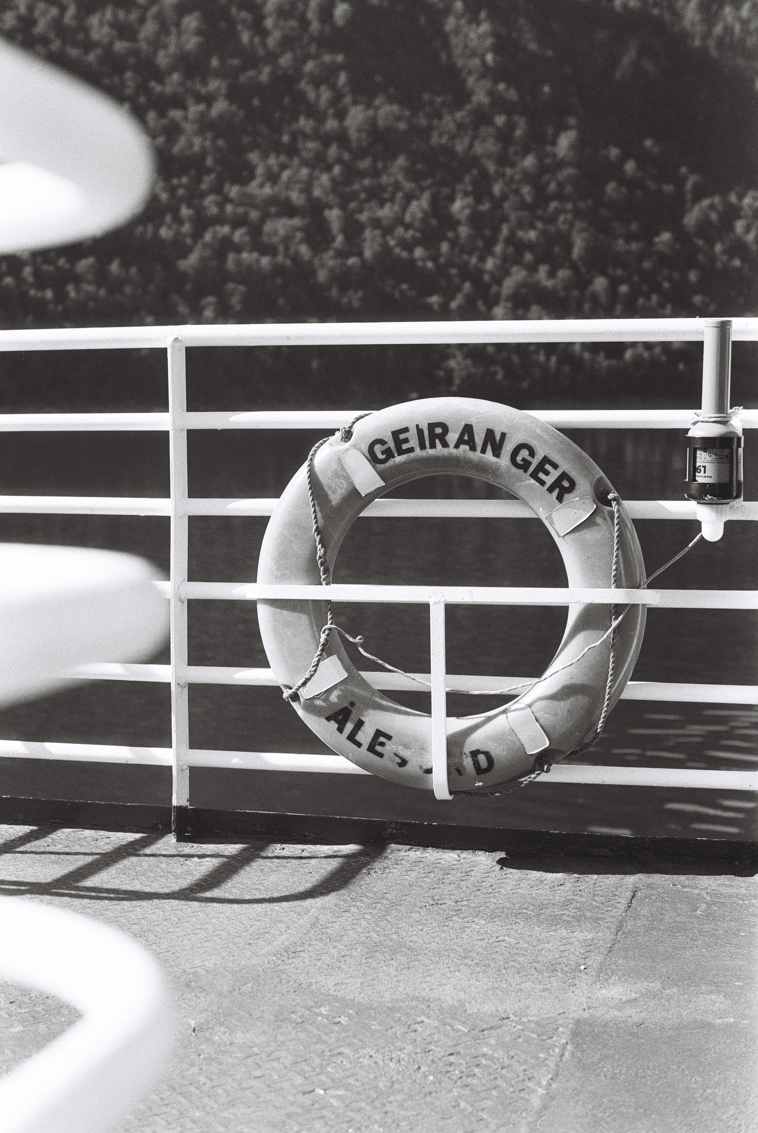
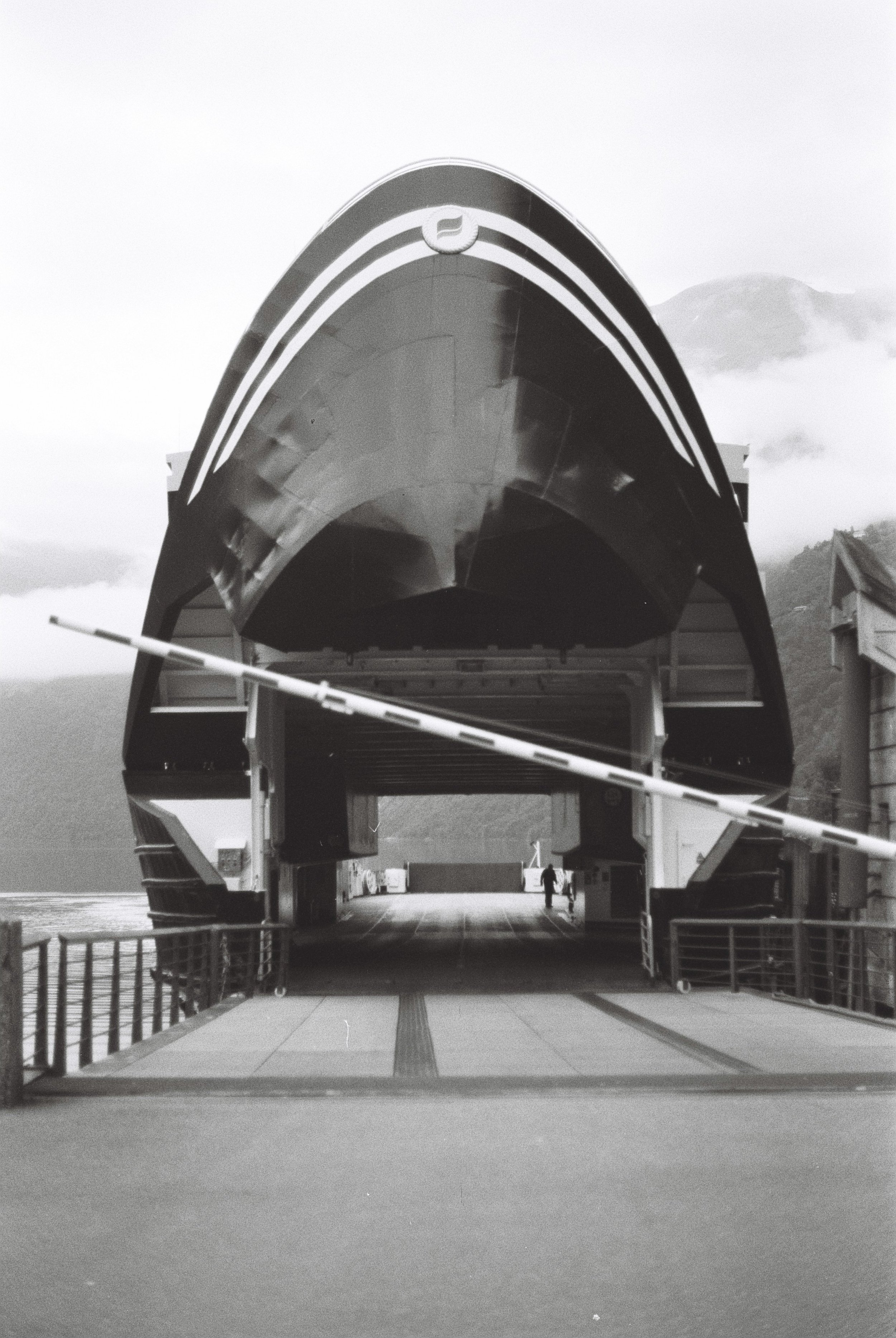
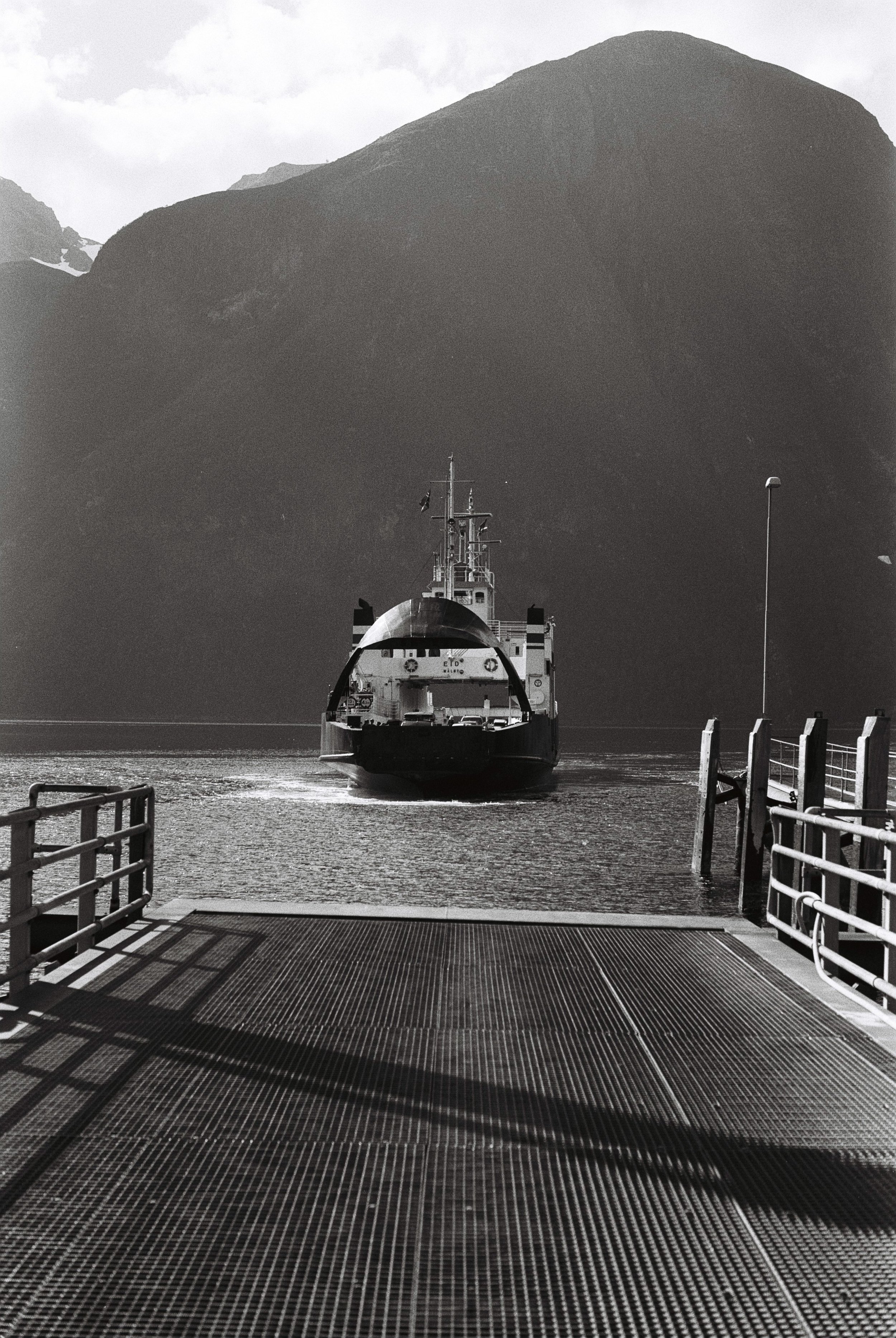
We opted for an easy day following the long day yesterday: a relaxed 10km walk down to Tafjord and a plan of taking a mix of busses and ferries to reach Geiranger. Our backpacks and searching look clearly give us away in Tafjord as lost tourists looking for the bus stop, as one of the locals stops and offers us a ride to the closest ferry terminal. He speaks both German and English and gives us a history and geography lesson on the local area. He tells us where the best apple juice is made and stops at the information board about the rockslide back in 1934 on the way to the ferry. He reminds me of my own grandfather and I board the ferry wishing I would have asked to take his picture.
Day 4: Patchellhytta
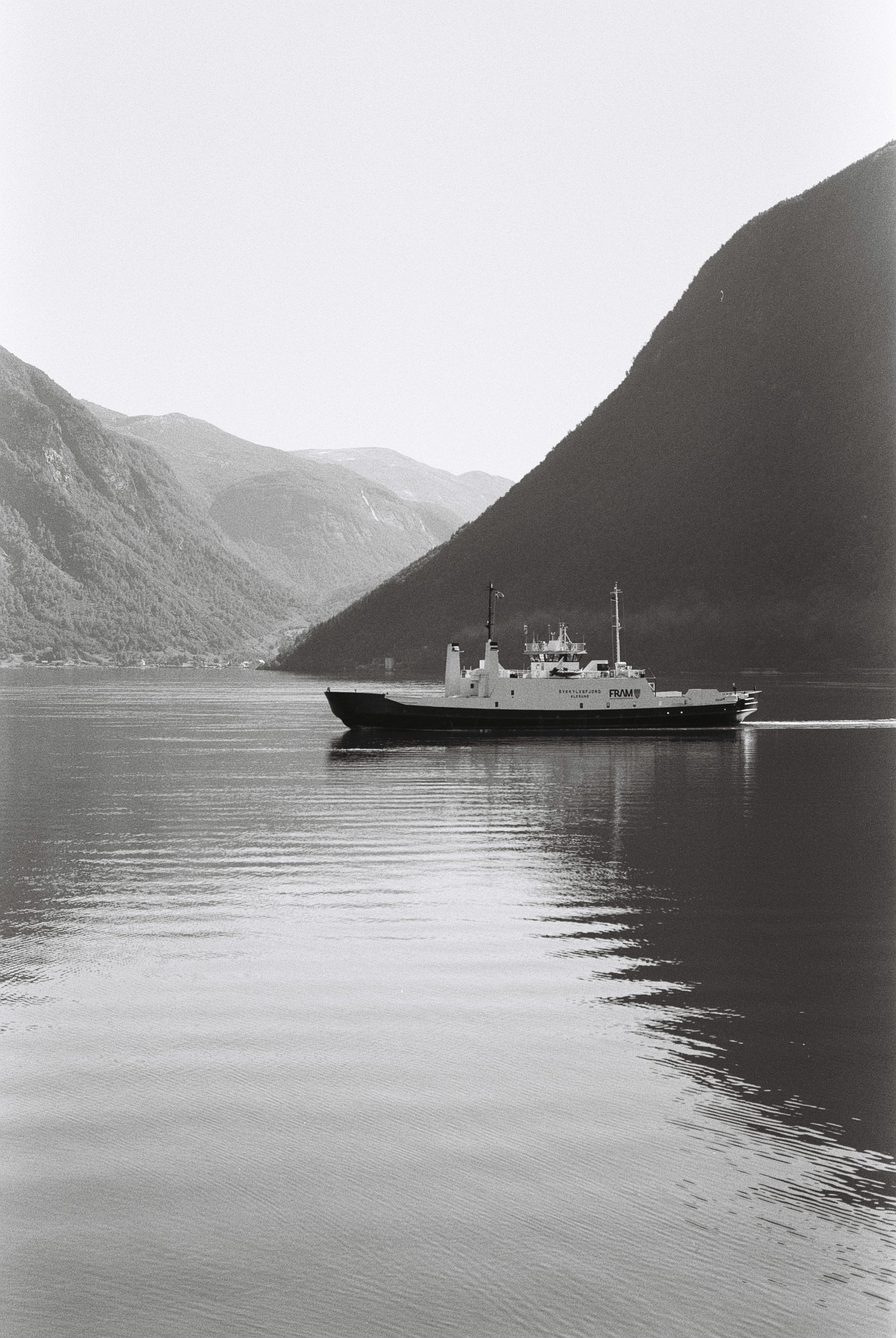
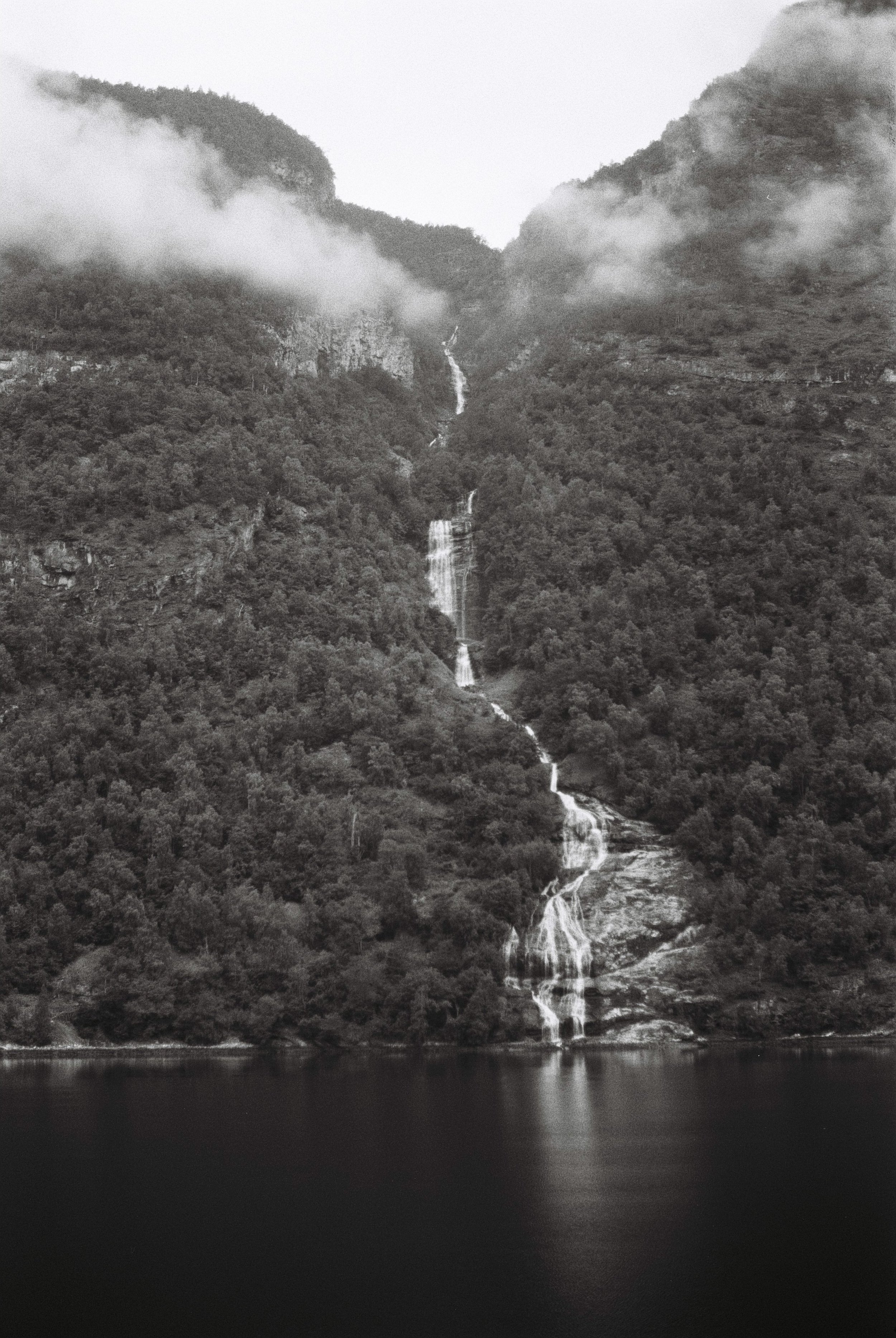
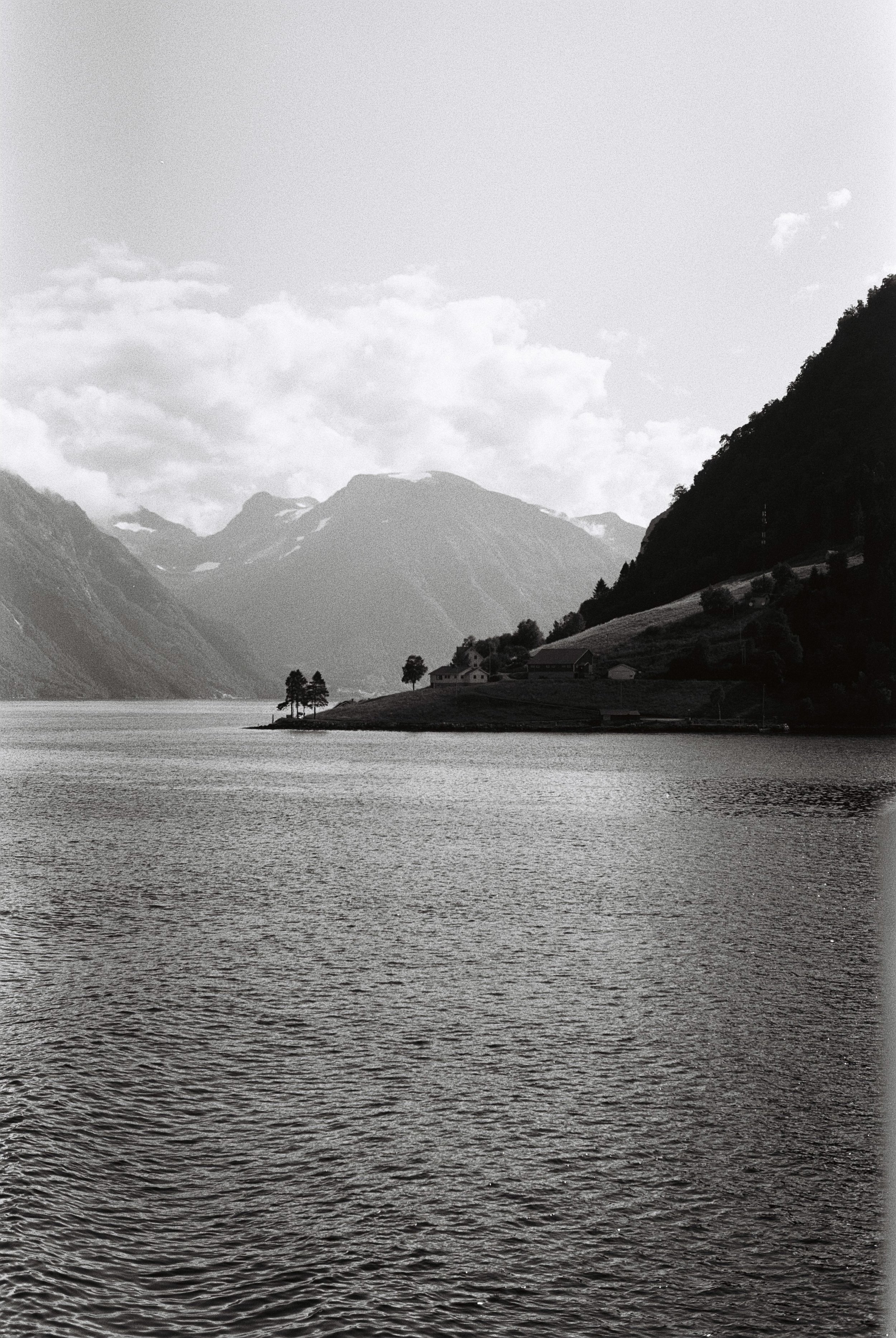
The day begins with a ferry ride through the beautiful Geiranger fjord. We’re heading to Hellesylt. The clouds are low once again, the fjord is calm, the silence is being occasionally broken only by the sounds of the crashing waterfalls which feed the fjord. We pass many of the no longer operational farms high up on the mountain faces next to the fjord, trying to imagine how previous generations made their lives here.
Once in Hellesylt we change transportation modes boarding a bus. Not to our surprise - empty like everything else we have experienced so far.
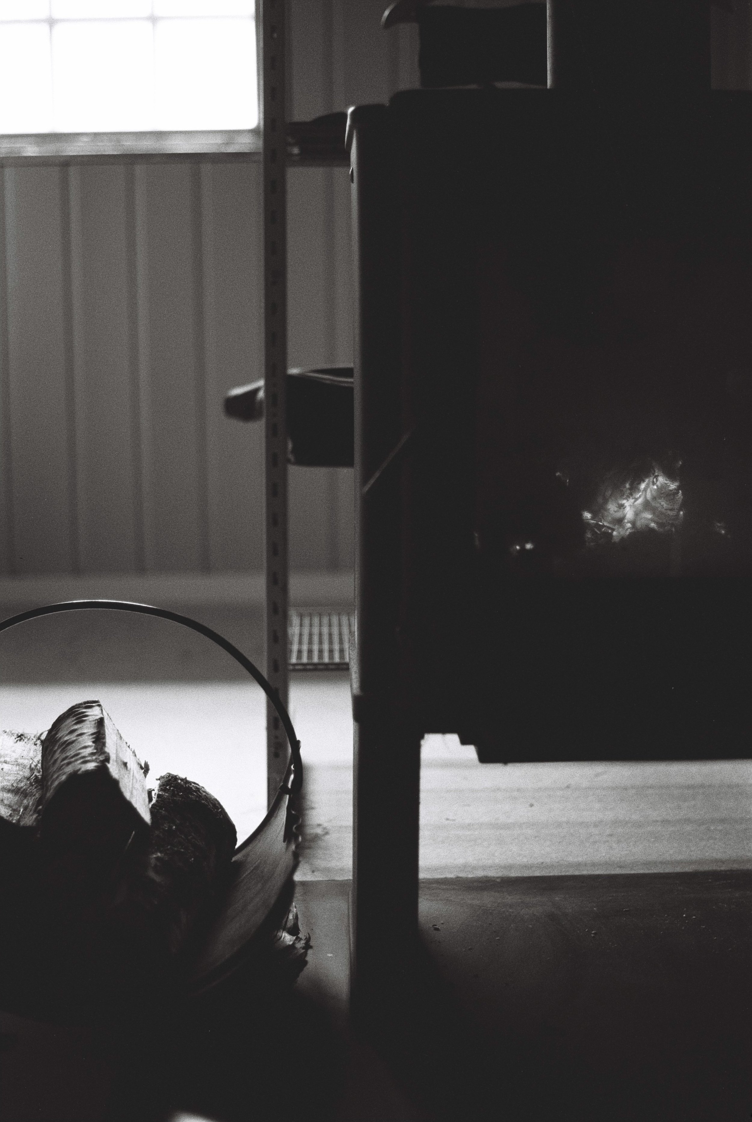
We start today’s hike at a bus stop seemingly in the middle of nowhere and begin our journey uphill past farms, stopping only to pick some raspberries. We’re following the river upstream once again passing the glaciers and snow fields that feed the river. For the first time we are not alone, both on the path and when we reach our stay for the night, DNT’s Patchellhytta. The fire is going already so it’s easy to settle in.
Day 5: Trandal
The day starts with coffee and porridge. Just to be clear - quite bad porridge. We did learn to add jam and cranberries over the course of the journey to make it taste less bland but it still doesn’t compare to the home made version. The coffee is good though and we perfected our AeroPress technique.
We also perfected our packing technique so we are good to go minutes after breakfast. On the agenda for today: a short climb to the pass where the Slogen path trails off followed by a long, steady descent through the valley to another ferry terminal in the middle of nowhere.
Time passes quite quickly and we only stop for some more … blueberries!
The first ferry takes us to Saebo, the second one to Trandal where we get picked up by Karin and her granddaughter, Frida, and shown to our cottage.
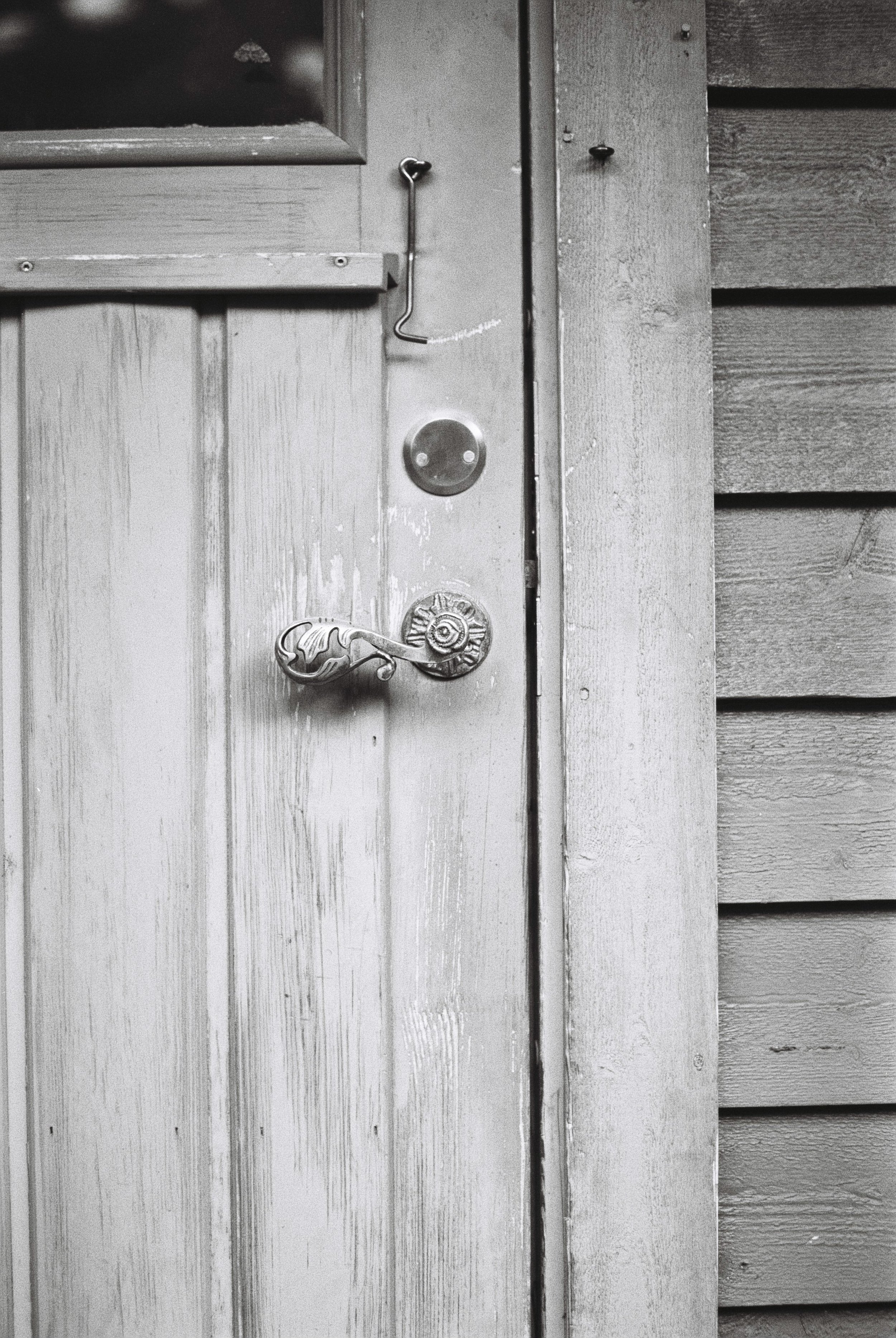
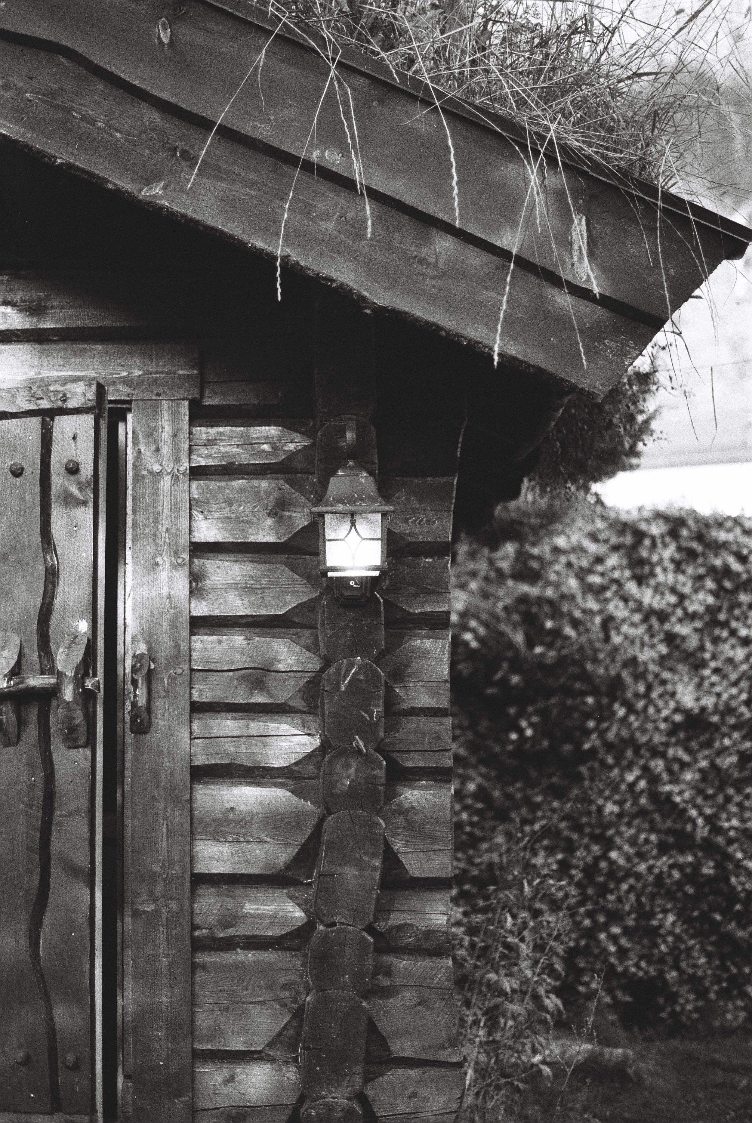
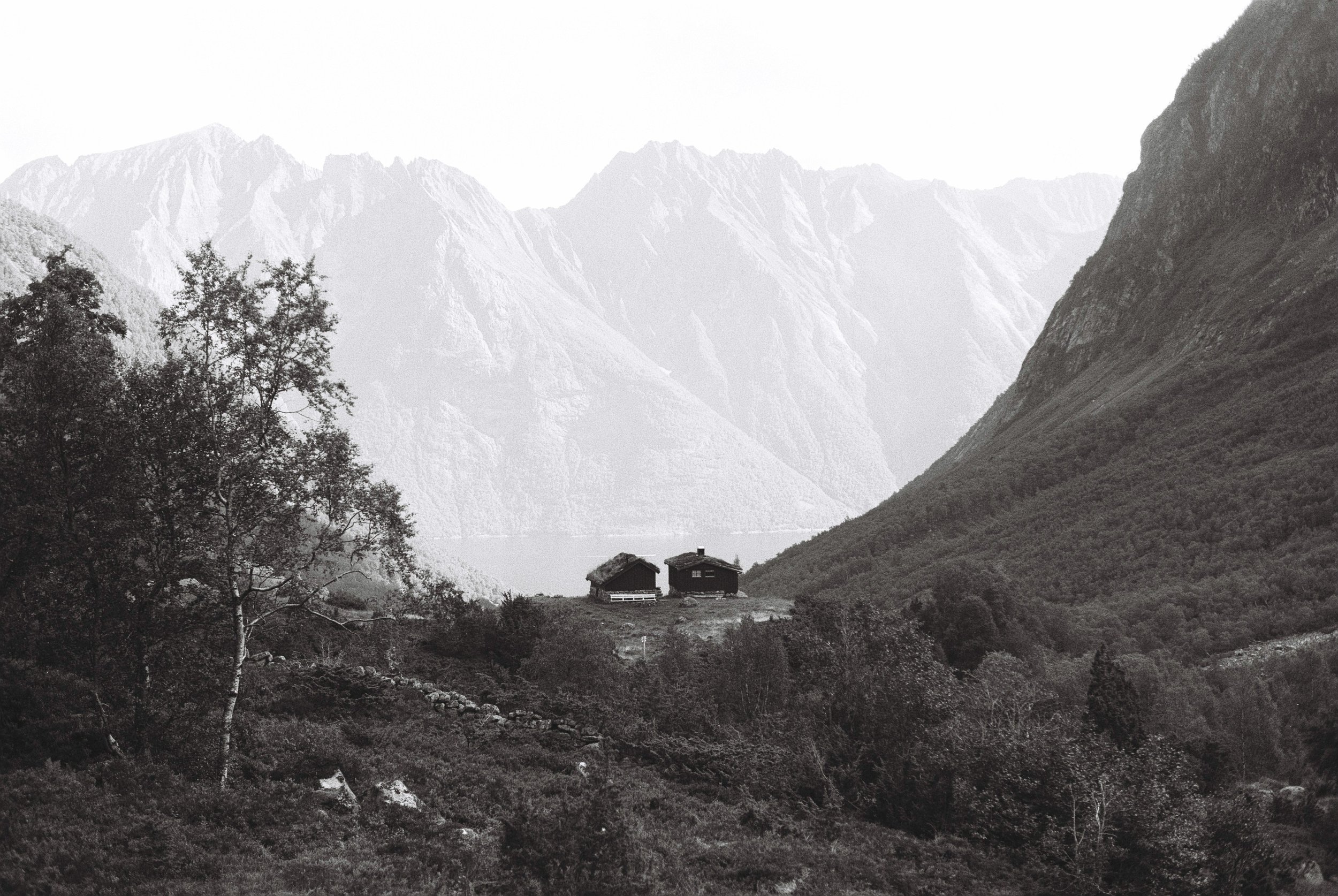
We fall in love with the place straight away. It’s a wooden cottage with a grassed roof telling a troll story. During the night we hear noises on the roof. And while it’s most likely just birds it’s nice to imagine there is a troll family up there doing some moonlight gardening.
Day 6: Molladalen
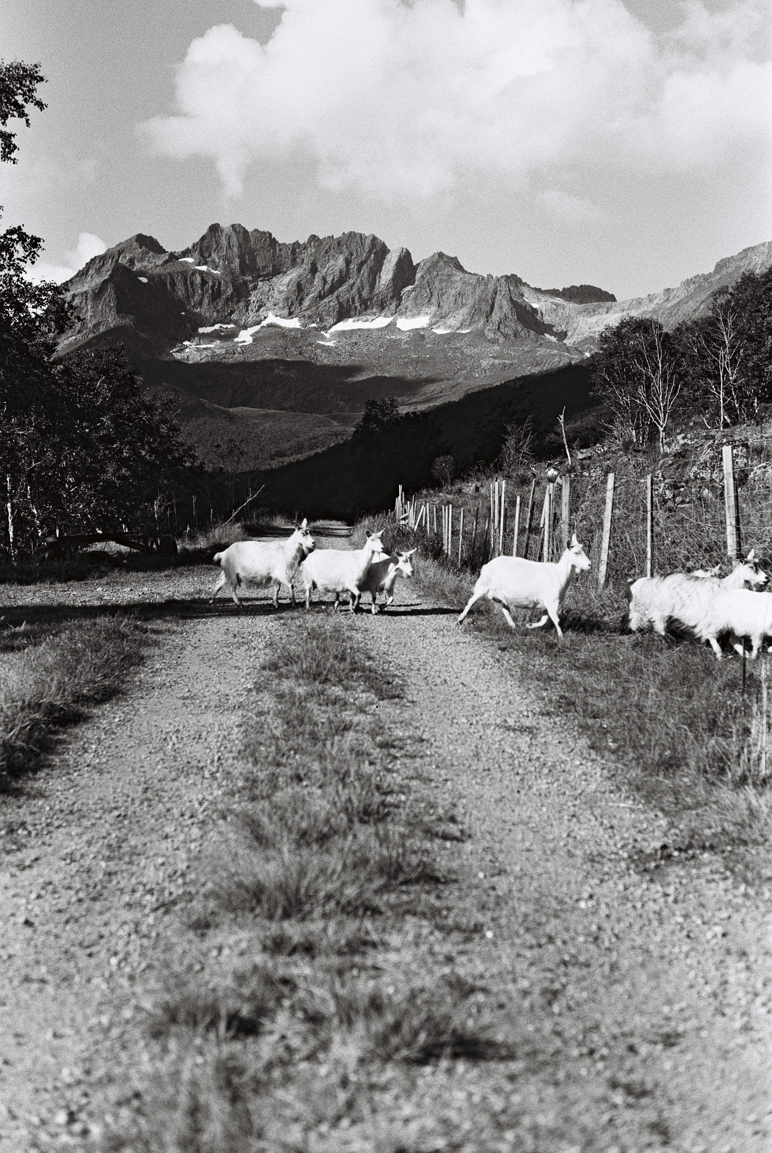
Today’s hike starts on the other side of the fjord so we meander down to the ferry terminal to catch the 9:20 departure. After disembarking a herd of goats greets us and so our hike begins!
We hike up through the valley, passing a few fellow hikers on their way up some of the peaks which, as far as we could tell from the maps, are not actually marked paths. Our route takes us up towards the saddle through forest and past mountain huts, where we stop for a brief film change. It’s generally very peaceful and quiet with the small exception of seeing and hearing a snow field break, a small rumble though the valley as the snow tumbles. The views from the top are pretty spectacular, the mountains here having what appear to be very inaccessible, yet impressive, peaks.
We descend to Molladalen, arriving at around 3pm, where we take our lunch break relaxing next to the lake to absorb our surroundings. At this point we are pretty good at going downhill but we do have to take it slowly as we pass through a chain section with quite a sheer drop. We have enough time to take it easy and our stay for the night is only 3km away.
Day 7: Ålesund via Høgkubben
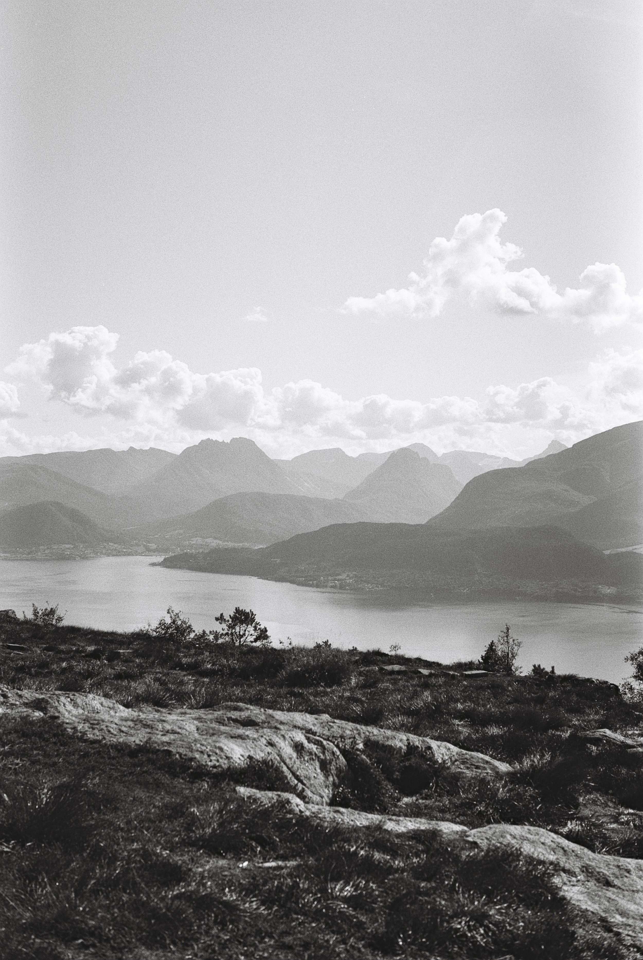
…and here we are at the end of our adventure. We pack our backpacks one last time and walk to the bus stop not far away from our stay. The bus takes us over the fjord and to the start of last day’s hike. The uphill is short and steep but we are nevertheless excited for a picnic with a view at the top of Høgkubben. And what a view we get, both of the two past stages of our hike and our final destination waiting patiently in the late summer sun. We take it all in, throw our backpacks on our shoulders and walk down the wide path hand in hand.
Time to relax and explore Ålesund.


